Cart
Sub-Total: $0.00
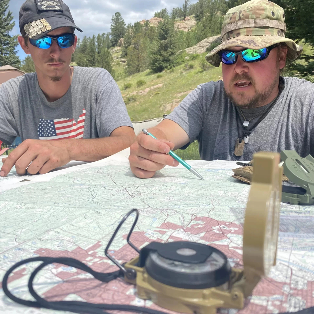
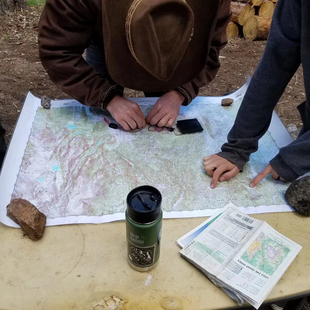
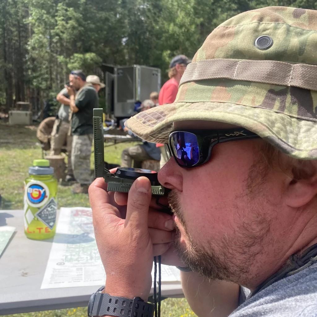
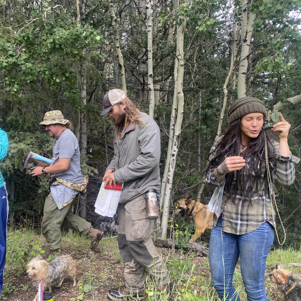
$495.00
Afraid of getting lost in the woods? Does the thought of using a map and compass stress you out? Let us help you banish that fear and uncertainty! Our Land Navigation 101 course will teach you how to use these basic tools to plot courses into the backcountry, and how to plot courses back out again.
Our Land Navigation I Course is designed to teach students to confidently navigate the outdoors.
July 9-11 2027
Click ‘Book Now’ to view and select your preferred date.
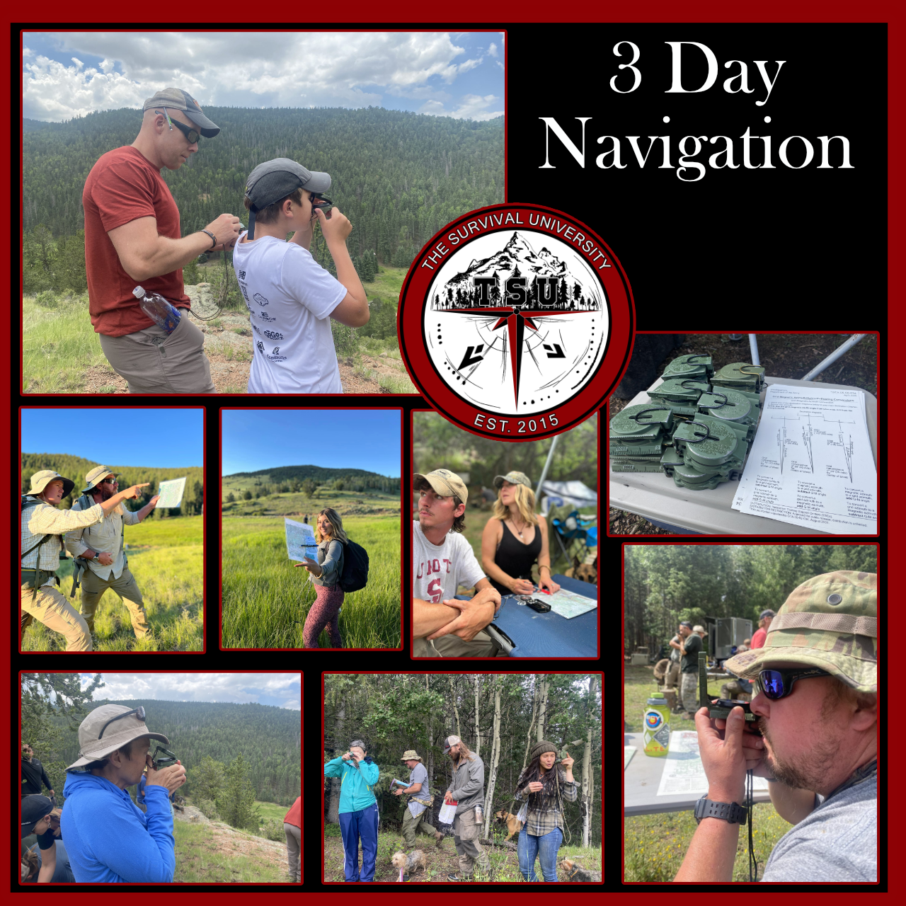
Do you worry about getting lost in the woods? Does using a map and compass feel confusing or intimidating? You’re not alone—and this course is here to change that. Our Land Navigation 101 course is designed to eliminate the fear of getting lost and replace it with real-world skills, hands-on training, and true backcountry confidence.
This intensive 30-hour wilderness navigation course teaches you how to read topographic maps, use both orienteering and lensatic compasses, and apply terrain association to travel through the backcountry—without ever needing a GPS. Whether you’re a hiker, hunter, search and rescue volunteer, or backcountry adventurer, this course gives you the tools to navigate like a pro.
Topographic Map Reading
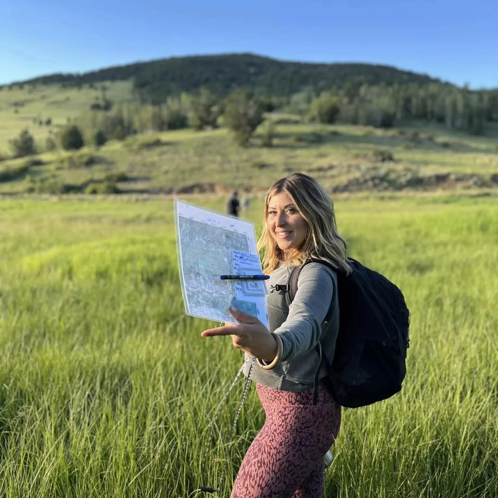
Learn to interpret map legends, terrain features, contour lines, relief shading, grid systems, UTM coordinates, and more.
Compass Selection & Use
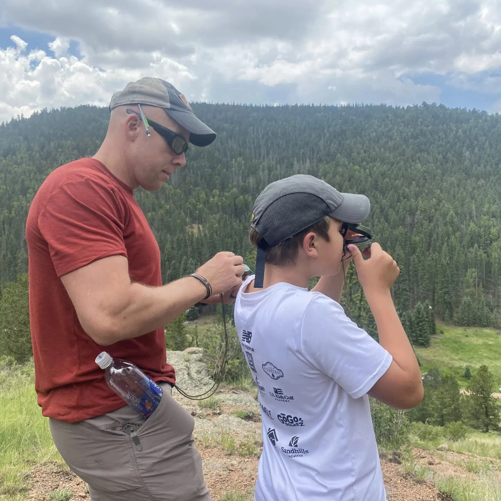
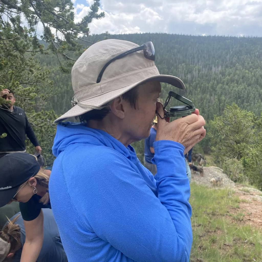
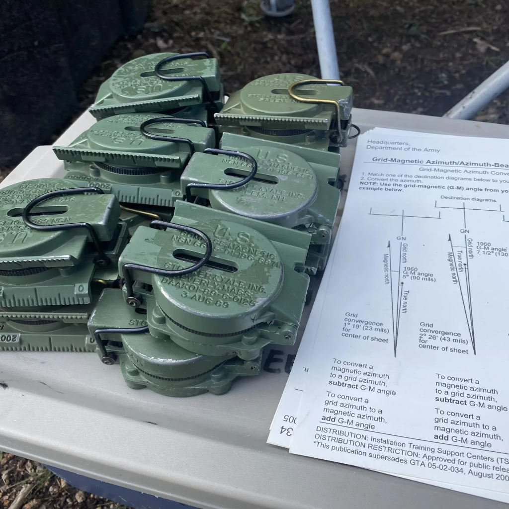
Understand the differences between orienteering compasses and lensatic compasses, and how to shoot accurate azimuths and bearings with both.
Terrain Association
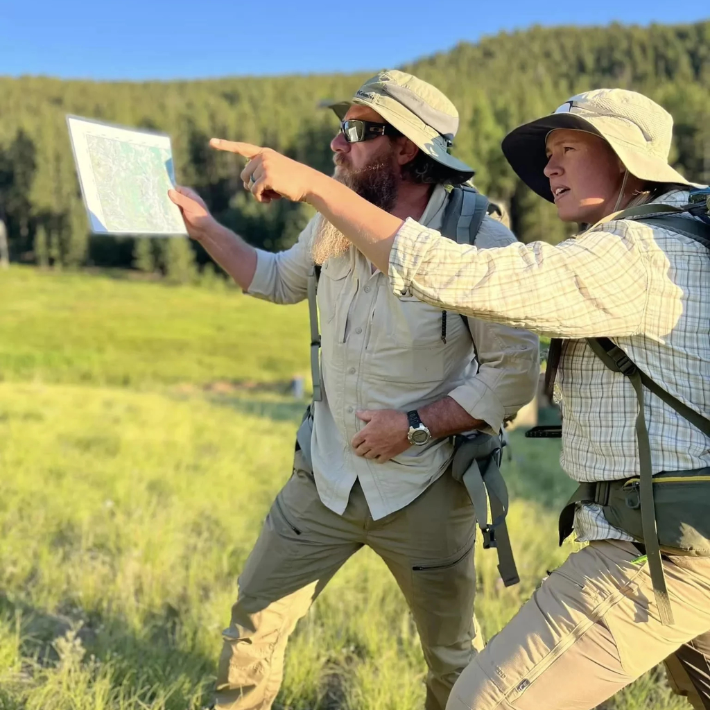
Develop the ability to read and match terrain in real life to what you see on the map, including ridges, spurs, saddles, valleys, and reentrants.
Route Planning & Field Navigation
Practice plotting and following your own routes, measuring distance using your pace count, and navigating with safety bearings, back azimuths, and guide rails.
Hands-On Map & Compass Exercises
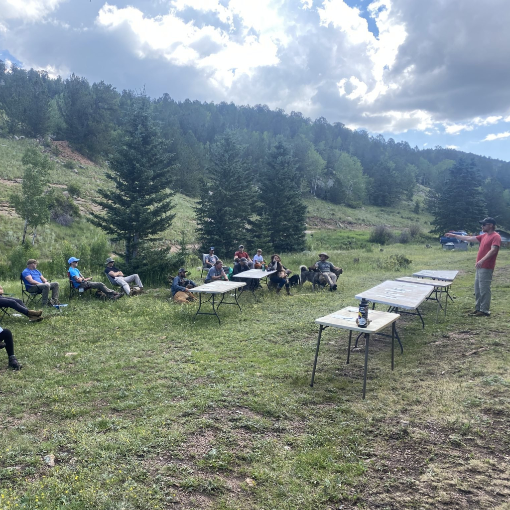
Apply your skills immediately on our 1,100-acre training site, with real terrain challenges and navigation exercises—including elements that simulate orienteering and even basic geocaching scenarios.
Advanced Navigation Techniques
Learn how to navigate using triangulation, dead reckoning, and nighttime navigation under limited light.
Orienteering is a timed sport that involves navigating between checkpoints using a map and compass. This course, while incorporating some orienteering-style challenges, focuses on the real-world application of navigation in wilderness settings—no time limits, no competitions—just solid skills to get you in and out of the backcountry safely and confidently.
Learning land navigation opens up the outdoors in a way that GPS can’t. Whether you’re searching for remote hunting spots, hiking off-trail, or curious about geocaching, this class gives you the tools to explore beyond the beaten path—and return safely.
Hikers, backpackers, and trail explorers
Hunters and anglers venturing off-grid
SAR and emergency personnel
Military service members and civilians preparing for self-reliance
Orienteering beginners who want foundational map and compass skills
Anyone who wants to go beyond GPS and navigate with confidence
By the end of this course, you will:
Navigate confidently using a topographic map, compass, and protractor
Identify and interpret terrain features in real environments
Plan and follow routes with terrain-based navigation strategies
Use back azimuths, triangulation, and pacing in practical field conditions
Understand the difference between GPS navigation, orienteering, and traditional map-and-compass travel
Move through the wilderness independently—day or night, with or without trails
There will be a significant amount of hiking. Wear comfortable shoes.
Colorado campus driving directions
Arrive by 7:00 AM for check-in. Class begins at 8:00 AM. Plan your drive so you are at the meeting location one hour before instruction begins.
Students enrolled in this course may remain on the training property overnight during the scheduled program. Students staying on the property provide their own shelter and sleeping equipment, using tents, tarps, hammocks, or primitive field shelters. Use of the training property overnight is limited to enrolled students and authorized program participants. Campsites are not independently rented or offered to the general public.
Students who prefer to stay off site can choose from multiple hotels and Airbnb rentals in the surrounding area. Cripple Creek is approximately a 15-minute drive from our location, and Woodland Park is approximately 30 minutes away. Students are responsible for arranging their own lodging and making reservations directly with their chosen provider. Please call or email us before the course if you have questions about overnight arrangements.
Water will be provided but students will need to bring their own food. We recommend quick field expedient meals such as freeze dried hiking meals or MRE’s. They can quickly be made at our primitive camps and won’t slow down the learning process. However, students may bring any food that they wish to cook over the campfire or on their own personal camp stove.
Food can be purchased locally at nearby facilities. Walmart and several local eateries are within a reasonable driving distance.
We do not provide students with gear unless they have purchased it from us ahead of time. Not much gear is needed for our courses, though good equipment does speed the learning process up greatly! Gear does not have to be purchased from our store to attend the course, but we recommend survival gear of equivalent quality.
This is a hands-on field course with both day and night navigation components. Be prepared for hiking, mapwork, backcountry camping, and exposure to the elements. All gear must be carried in by the participant.
Warm outdoor clothing, warm gloves and hat, outdoor boots and wool socks. Cotton clothing is highly discouraged in the mountains! Wool will keep you warm even when wet and synthetics will dry faster. Layers are important in Colorado. You will want a water wicking base layer, an insulating mid layer, and a waterproof breathable outer shell. Check out our Clothes Layering Basics if you are unsure of what to wear.
If it is still not clear what gear is needed for our survival courses, then we have assembled a complete kit that is still high quality but for a budget friendly price. All the items in this kit were hand selected by our instructors to be the best bushcraft tools on a budget. This survival kit is a useful starter kit that can be used in all of our courses. These are all must have tools at a good price. It’s a great survival kit, bug out kit, go bag, or use it as a solid foundation to build a kit that perfectly fits your needs. With this kit and our training anybody can survive like a king in almost any environment!
Wilderness Navigation: Finding Your Way Using Map, Compass, Altimeter & GPS (Mountaineers Outdoor Basics) BY Bob Burns
Due to the different levels of prior experience and knowledge among students in each class, individual outcomes may vary. Weather conditions can also be a factor in changing class content slightly. Nonetheless, our instructors will always endeavor to be as accommodating and consistent as circumstances will allow to ensure students get the best training experience and value for money.
-
Select options This product has multiple variants. The options may be chosen on the product page
-
Select options This product has multiple variants. The options may be chosen on the product page
-
Select options This product has multiple variants. The options may be chosen on the product page
-
Select options This product has multiple variants. The options may be chosen on the product page